Samnangjin contained one of the biggest docks on the Nakdong River during the Joseon period. Positioned just south of Miryang, it was an historically important passageway for travelers. An old walking road was made along the rocky shore line to the east of the present train station in a place called Jando.1 Remains of this old road can actually still be found along a new bike path (you can see a recent picture by clicking here). A blogger called Jaeho has done the excellent work of mapping this out in English here. Evidence for Samnangjin being a former administrative center can be seen at Jakwongwan (작원관), an inspection post that contained lodging for traveling administrative officials.2 Serving as a kind of Joseon era customs and immigration office, it was also tasked with protecting the river from Japanese pirates (Wae), perhaps around the fifteenth or sixteenth century.3 Though the site has since been destroyed, it may have been a sizable outpost judging by the reconstructed gate at Jakwongwan.
When considering Samnangjin’s relationship with its northern neighbors of Yucheon (Cheongdo) and Miryang, we can see that they each had different roles during the colonial period. Yucheon was known for being a modern distribution center while Miryang was a rice production center. Samnangjin then surely acted as the southern gateway to Miryang and Yucheon, but it had another purpose during the late Joseon period. At that time, it was known for being a tax collection center. While it is unclear whether or not it retained this function in the colonial period, this seems to have been its role between the establishment of Jochang in 1765 and the construction of its railway station in 1905.4
Jochang was a warehouse at the very tip of the intersection of the Miryang and Nakdong rivers. Its position made it easy for taxes in the form of grain, cotton, or coin to be brought by ship from the six regions that fell under Samnangjin’s administrative tax jurisdiction.5 When the rail line and train station were built in 1905, the town center shifted a few kilometers east to its present location.6 This was largely due to overland transportation being favored and the port falling into disuse. Though I can’t find any architectural remains related to Jochang and its former port area, there is at least one Japanese-styled house in the area (unpictured, listed as “Colonial Japanese house [Former Jochang area]” on the map at the bottom of the page). This indicates that the area still had inhabitants even after the city center moved away from the immediate coast, though it looks like there aren’t any Joseon period structures left.
Like a number of towns, Samnangjin’s Japanese population grew significantly after the railroad was built. The rail line followed the eastern shore of the Nakdong River towards Samnangjin Station, but at least one section was laid in a part carved from the mountain side. A massive stone retaining wall was formed here – somewhere near Jando and the remains of the aforementioned Joseon era road. It is a large, fortress-styled, construction that, from a distance, kind of resembles a castle. Some guys snapped shots of it from their boat and posted it on this blog. A newer picture taken from the bike path can be seen here.
Inarguably, the entire river valley from Cheongdo, through Miryang, to Samnangjin was drastically changed by the Japanese occupation. Though it is obvious that colonists specifically influenced rice production in this river valley, there was a different, delayed impact left on agriculture in Samnangjin. It is said that in 1943, just ten strawberries were carried over from Japan.7 The plants then spread to neighboring farms and, in the same way that Cheongdo is known for its persimmons, Samnangjin is now know for its strawberries.
Samnangjin Station
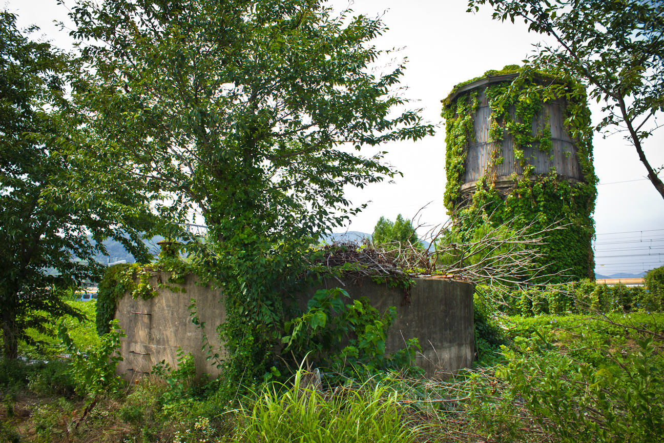
The former Samnangjin Station was built in 1905 at the time of the Gyeongbu line’s completion and remained intact (at least) up until 1981. It was a mid-sized, picturesque building with a gabled roof that followed a typical colonial railway station style. The only remaining protected building in the area is an old water supply tower between the fence and tracks. Built in 1923, its base, which is only visible underground, was built of stone. The middle section was made of reinforced concrete and the tank was made of steel or iron. On the other side of the fence is a concrete circle with a mechanical wheel that seems to be a valve release of some kind. This structure may have served as a pump or secondary tank. Korail workers, of course, told me not to cross the tracks when I asked for access to the little stairwell that leads under the water tower. However, somebody apparently was able to get inside and photograph it here. You can also find photos on the Cultural Heritage Administration’s website.

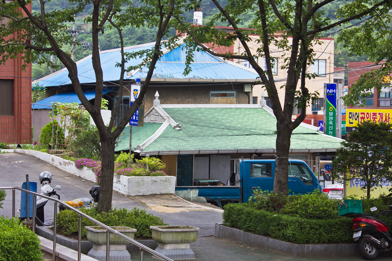
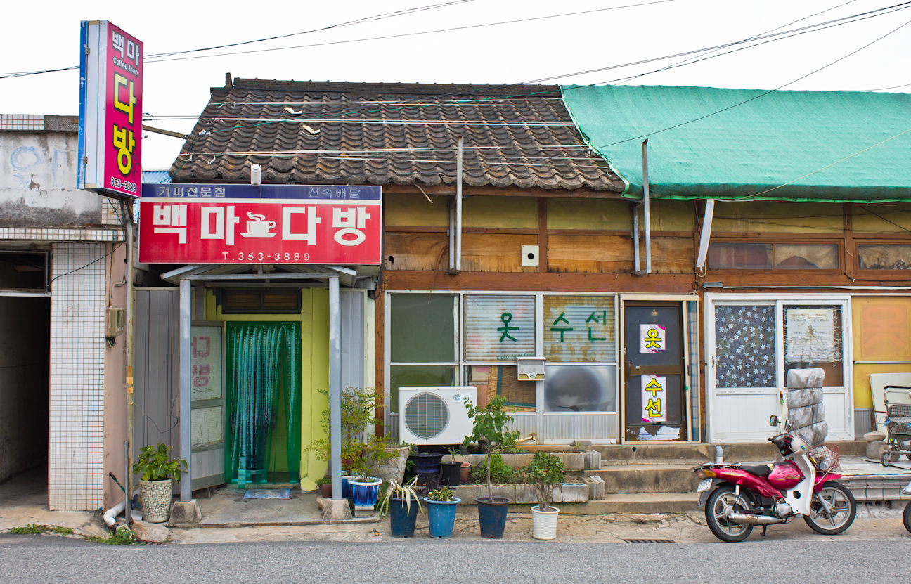
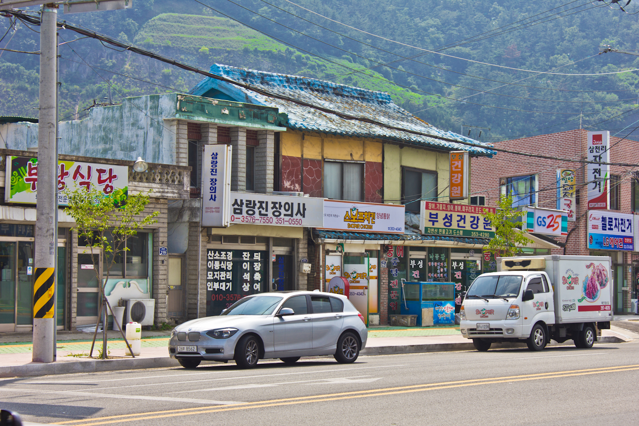
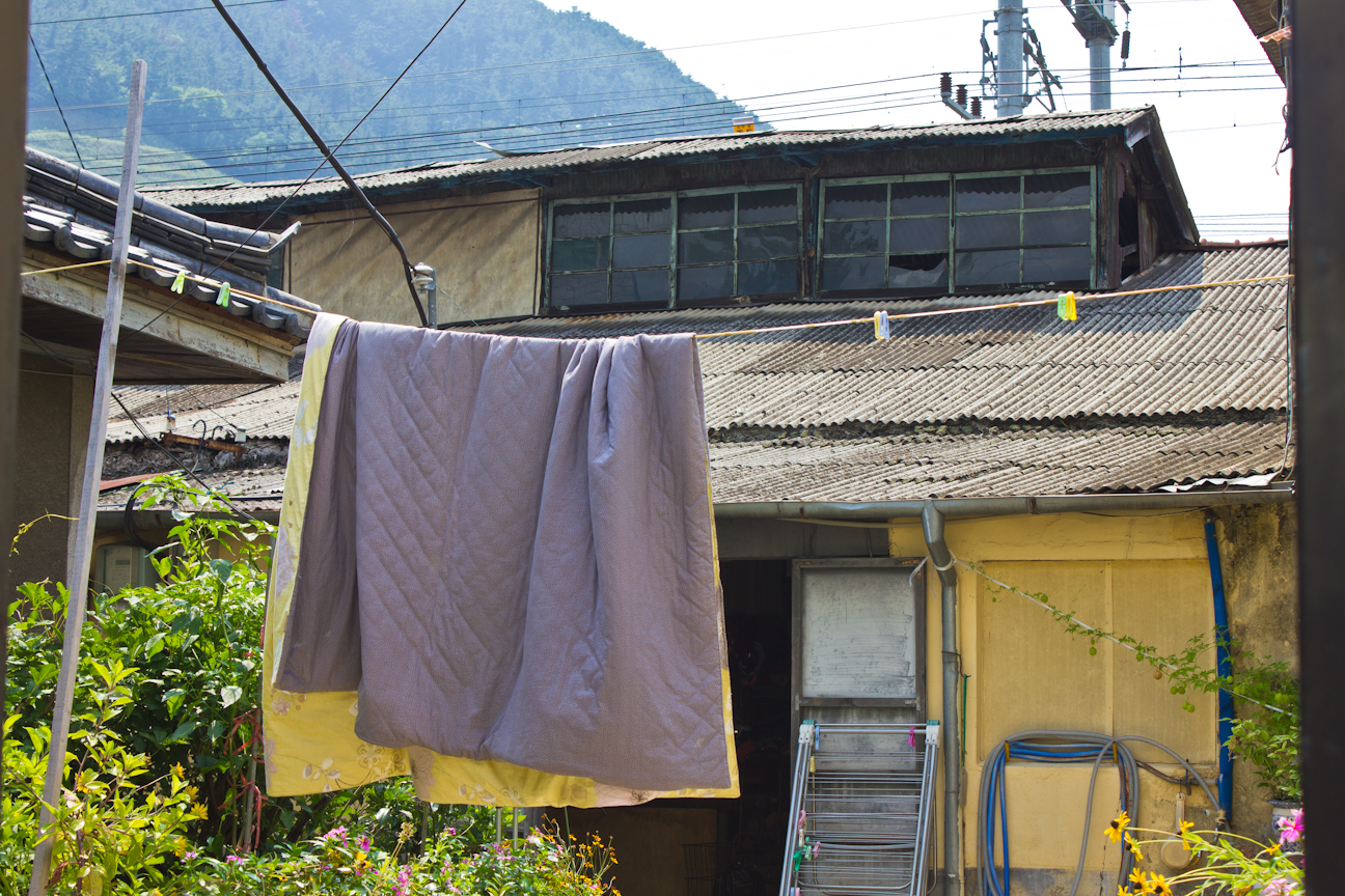
The main street in front of the present day Samnangjin Station features a strip of Japanese-styled buildings wedged between some newer structures. Though not as authentic as Naeho-ri in the Yucheon area, parts of it are reminiscent of late 1960s, early 1970s Korea. Not only does the industrialization period architecture show this, but some businesses, like this old delivery coffee shop that would sometimes double as a hospitality service for people wanting to chat up a delivery girl, are still intact. It is housed in an old Japanese-styled building. The largest gabled roof Japanese building sits just an intersection by the train station. It has been sprayed with cement and its roof covered with tin or vinyl, but the basic structure still remains. A few more smaller ones also line this street.


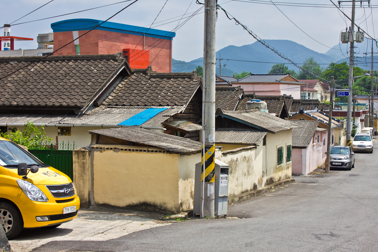
Former Japanese Neighborhood, around Songji 3-gil (송지3길)
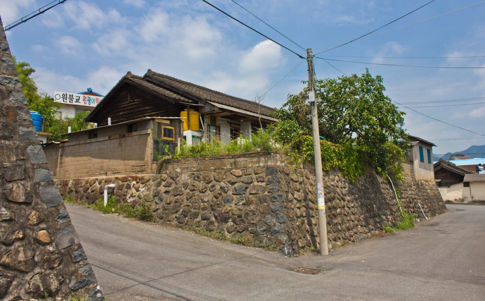
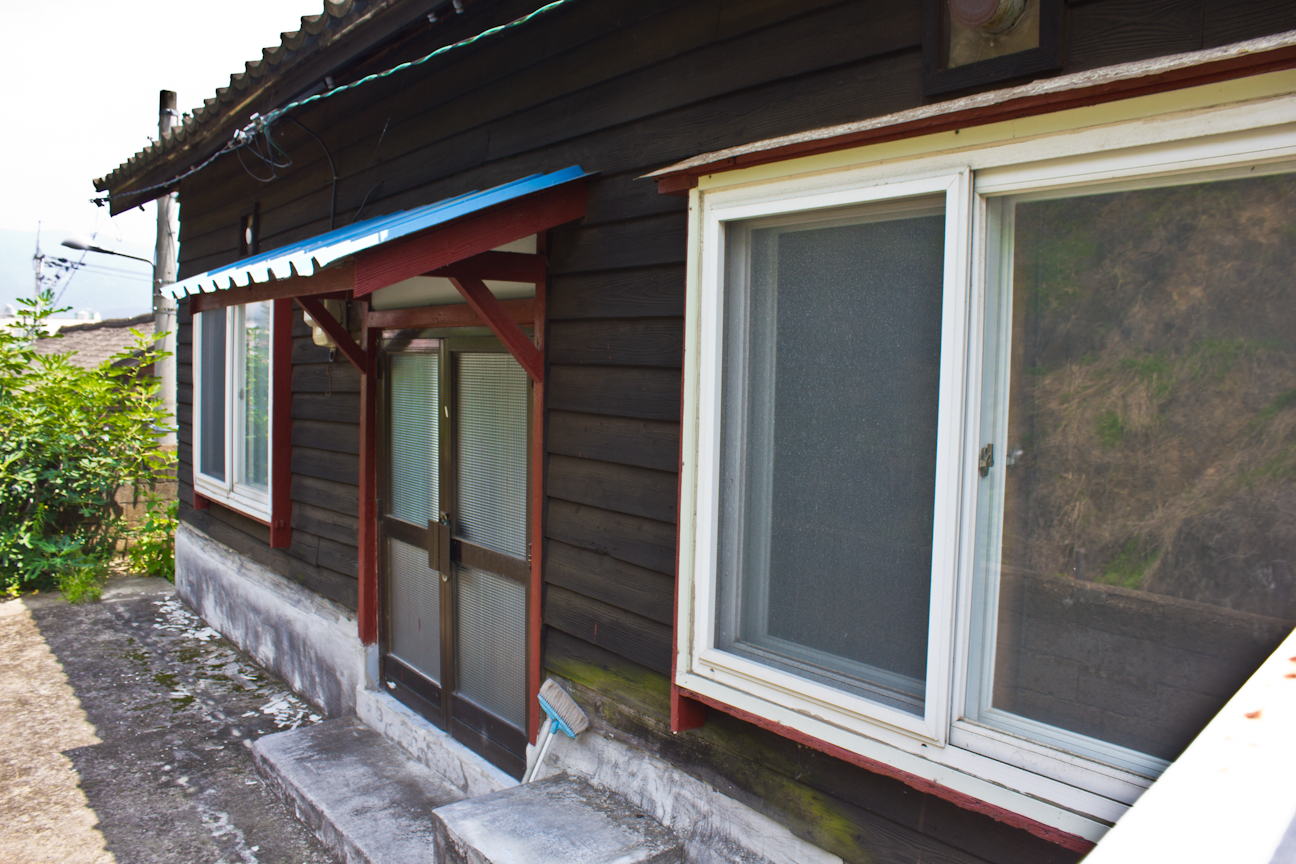
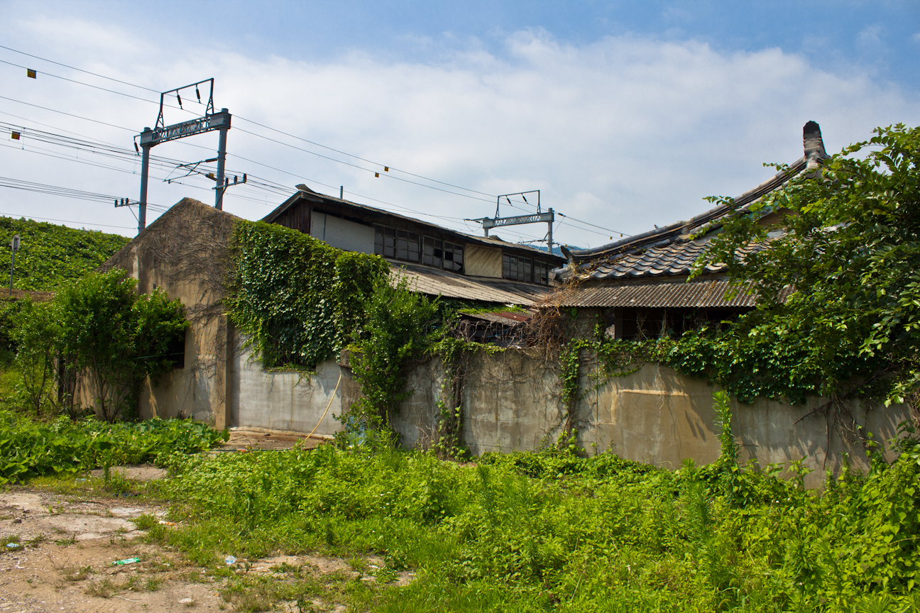
The most noteworthy section of Samnangjin is an entire neighborhood of well-preserved wooden Japanese buildings that may date to the eighteen year period between 1927 and 1945.8 Formerly used as residences for railway employees, individually they aren’t anything special, but as a group the sixteen or so buildings are important in their representation of an early modern Japanese city block. There are few, if any, neighborhoods like this left in Korea.
When looking at modern day Samnangjin on a map, we can still see that this section of the town is the only one built in grid form. Set upon fortification-styled retaining walls that resemble Edo-period castles, one would expect these houses to be of higher build quality for such lofty urban placement. I’ve never seen such basic wooden buildings given this kind of impressive foundation, and whether or not this was common at the time, it is significant in that this may be the only remaining example left. Such foundations can also be found throughout old neighborhoods in Busan. Typically, a stone, brick, or more elaborate Japanese styled wooden villa would be built in such a place – but these buildings are rather generic. They’ve seen a number of renovations, including newer concrete or cinder block walls, but the original wood and clay is still visible in some places. One of the buildings towards the top of the hill is now used as an architecture firm.


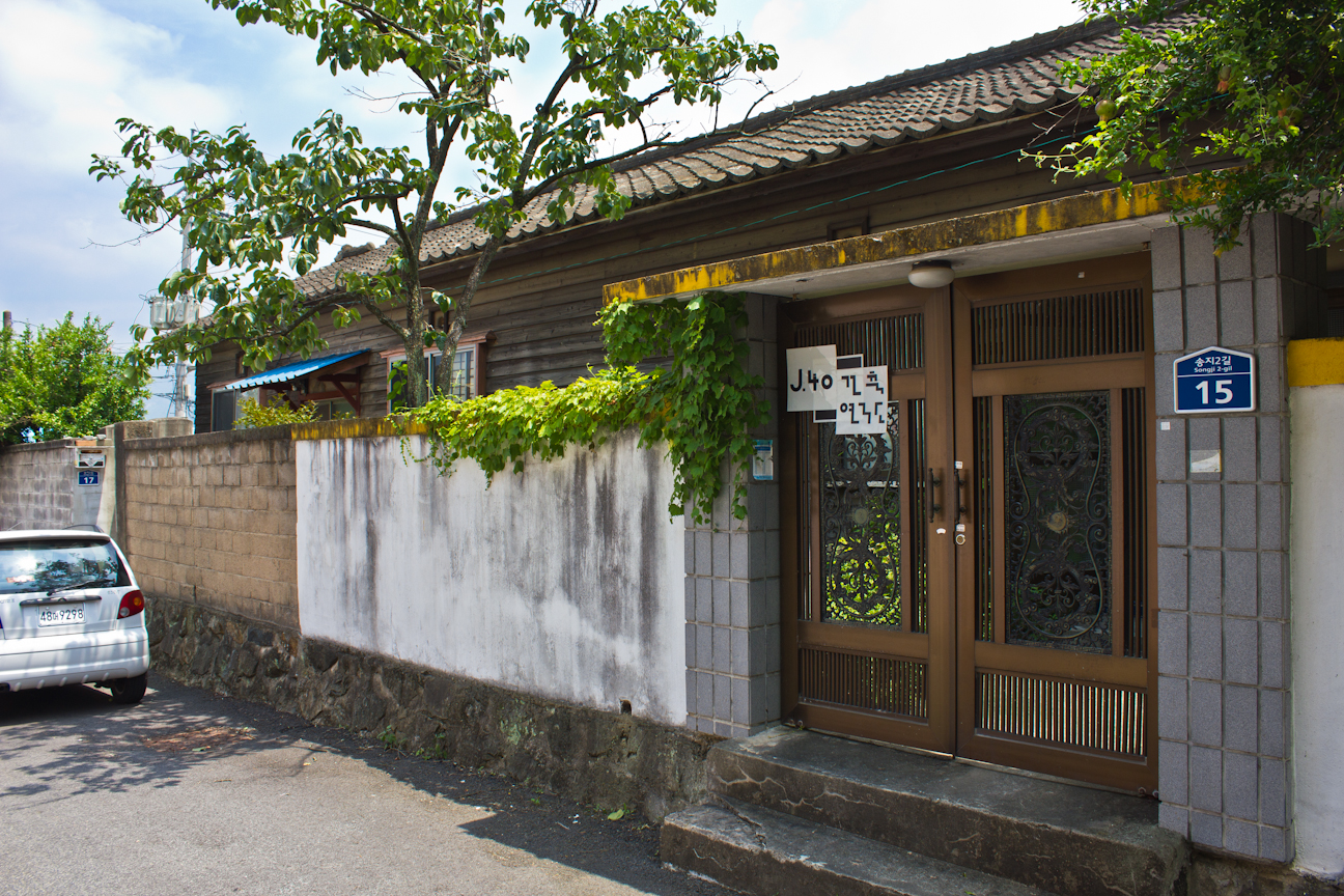

Formed on the slope of a hill at the base of a mountain, houses at lower elevations seemed to have been built on smaller foundations than the ones farther up the hill. Since the elevation of roads often increase over time, it is then possible that these retaining walls are even taller than they appear as some of their lower stonework could be hidden beneath asphalt. At the very top of the neighborhood lies a Buddhist school. Given its location as the highest point in the area, it may have been the site of the Japanese Shinto shrine (one of which was placed in every Korean town at the time). The fact that a religious institution still sits there today is perhaps evidence of what used to be there. Old sites were commonly repurposed for similar things post-liberation. None of these buildings appear to be under government protection.

Southern Samnangjin, near Songjin Elementary School (송진 초등학교)
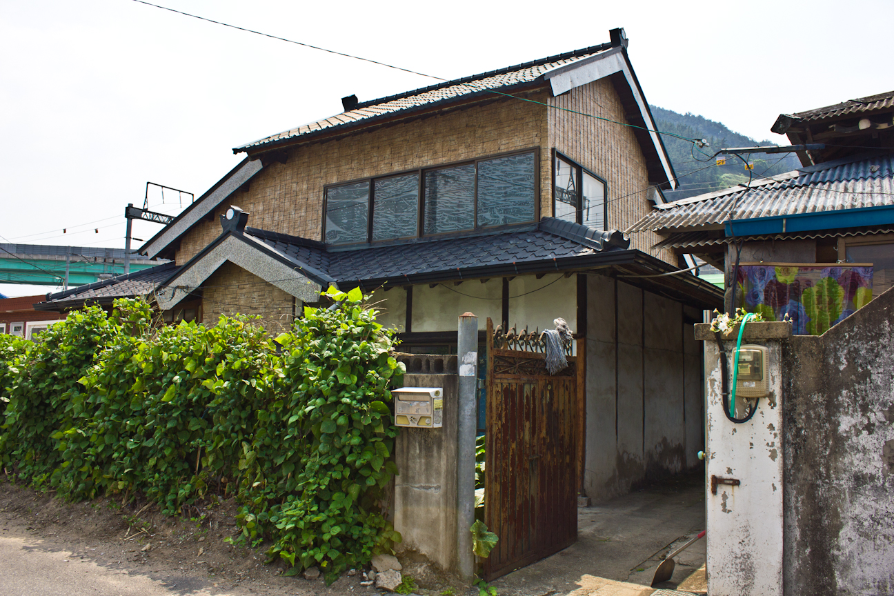
South of Mijeon Stream (미전천) lie a few more clusters of early modern buildings. The first form a small community surrounding Songjin Elementary School. Most of the interesting buildings can be seen along the entire length of the five hundred meter Oesong 1-gil, a back road that runs parallel to Highway 58. I came across an exposed early modern building in the middle of demolition as well as a few other minor colonial structures.


 Of note is a long, two-story warehouse or factory with a kind of half-gabled roof. This style, which I’ve also seen in houses in a few cities in Jeolla-do province, is perhaps a little more interesting than the basic wooden rectangle design. This half-gabled roof design can also still be found in Japan today. An old hanok sits right in front of the warehouse structure. Continuing down Oesong 1-gil, there are a few more former Japanese houses, though most of them have been recently renovated. The clay walls and old wooden frames can still be seen under parts of the new facade.

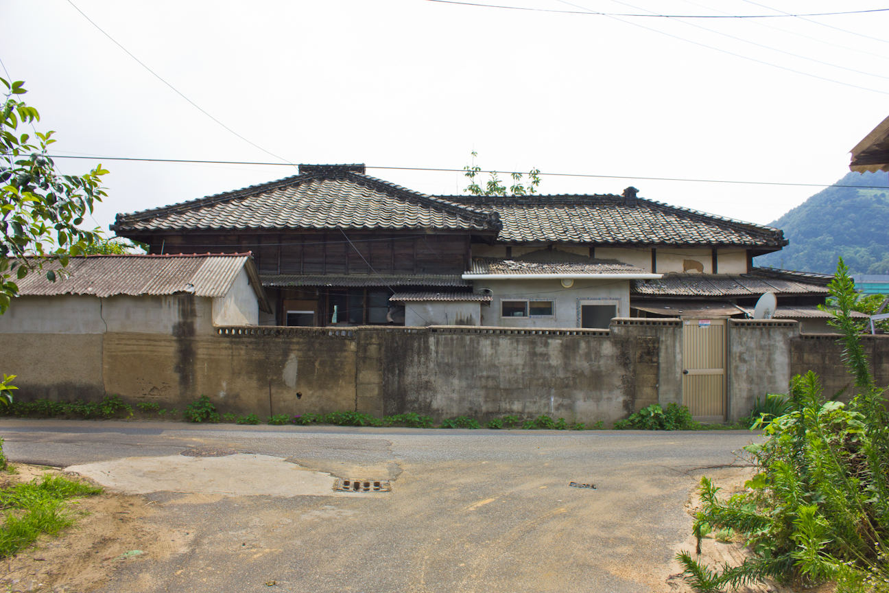
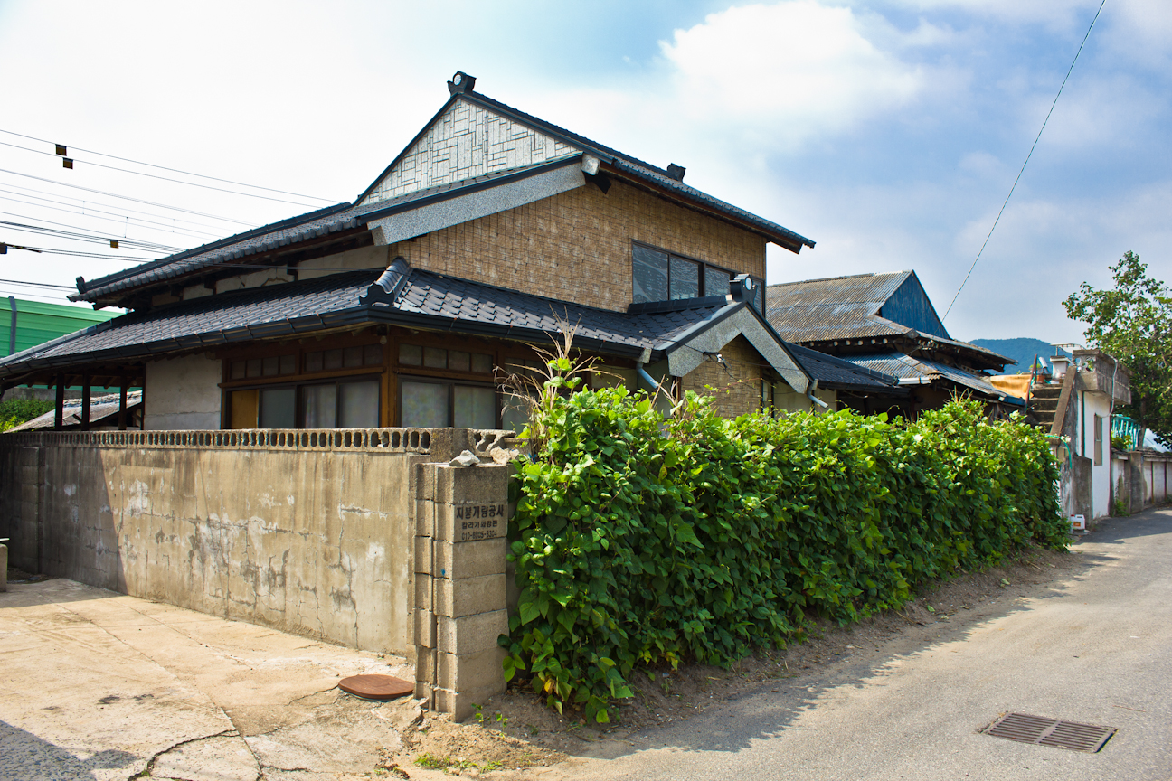 Once out into some of the flat land near the massive Highway 55 bridge across the Nakdong River we can find a few more colonial Japanese houses. Given that these sat on farm land, they might have been something akin to plantation houses. The first one pictured below has interestingly been covered in tree bark in some places, including on top of its metal roof.


 Unfortunately, I wasn’t able to make it just a little bit further south towards Nakdong River Station where there are a few more minor colonial buildings along Samnang 4-gil. A colonial era railroad bridge can also be found in the middle of the other more modern bridges containing the Samnangjin Bridge name, yet, curiously, it isn’t even visible on Daum Maps unless you switch to satellite view. Now unused, I wasn’t able to visit this rail bridge, and it may not even be easily accessible, but you can see photos of it here and here. I’ve also marked it on the map below should you choose to check it out. There are four bridges very close to each other here, so you may double to check that you’ve got the right one.
To see the entire Flickr gallery, click here.
Footnotes
1Jaeho, “Confluence of Rivers” blog, Ordinary Mind (2015).
2산길, “원동역~ 삼랑진역 걷기,” Daum Blog (2014).
3산길, “원동역~ 삼랑진역 걷기,” Daum Blog (2014).
4Jaeho, “Confluence of Rivers” blog, Ordinary Mind (2015).
5Jaeho, “Confluence of Rivers” blog, Ordinary Mind (2015).
6Jaeho, “Confluence of Rivers” blog, Ordinary Mind (2015).
7“경부선 삼랑진역, 삼랑진역 급수탑,” 윤용진의 사진여행 (2008).
8“봄바람 분 날, 매화를 보러 삼랑진과 원동에 가다,” Blue & Blue (2011).
Building Locations
Other Things…
…for those interested in Joseon period remains, there may be an old stone “wench bridge” in the Samnangjin area as well. Also, it very well might be destroyed, but I came across this image on a blog from 2011. If you’re able to find this structure, drop me a line.

.jpg)
Pingback: Suncheon | Colonial Korea
Pingback: Railway Quarters – Colonial Korea